When tracing back in time, many people ask: How can I find out more about where my ancestors lived?
To do this, electoral registers, directories and parish rate books can be used in conjunction with maps and towns. It is also worth seeing if there are any contemporary photographs to see what the property and its neighbourhood looked like and compare it with what it looks like today. Most local libraries and record offices have substantial collections of local photographs.
There are many websites offering maps from centuries gone by for researchers to purchase. However, so many maps are available online, there is little need to spend any money.
Genmaps is a site devoted to online images of English, Welsh and Scottish maps from their beginnings to the early twentieth century. Most of the images on the website are from scans donated by the owners of old maps. Although the maps shown are free of copyright, the images are not and so any commercial use of the images is expressly forbidden. Focussing on Devon – a county close to my research – as well as the Genmap for the region, there is also a very clear map of (South) Devon in 1883-4 which has been made available by Nicholas Adams, showing the villages of South Devon in great detail. Schematic large-scale maps of Devon showing (ancient) parish boundaries are available through a link from the GENUKI website:
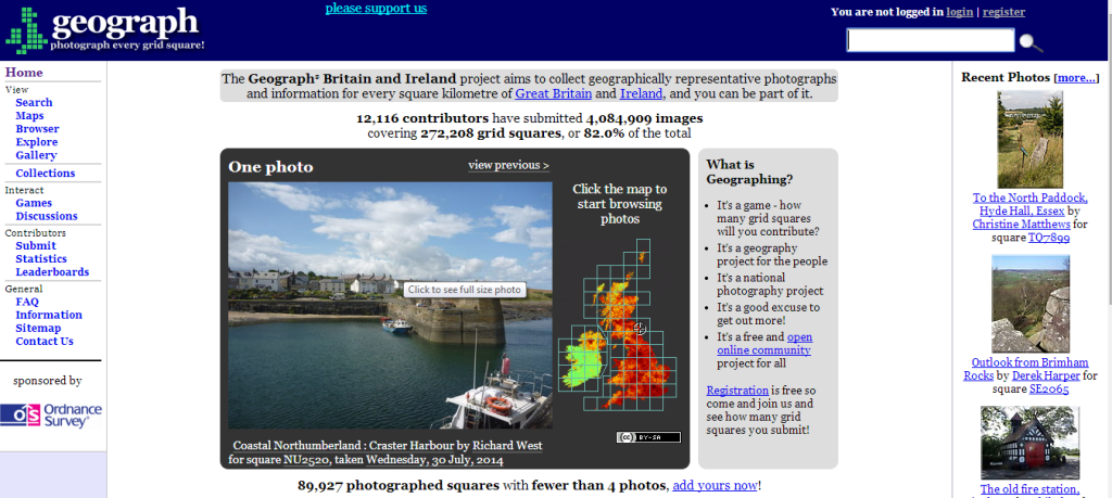
To see modern photographs of the parishes, www.geograph.co.uk is a ‘geography project for the people’ where contributors take photographs and upload them to the website. Using ‘search’ from the homepage, you can search by place name, postcode or grid reference.

How did we manage without the Internet and all these wonderful volunteer projects?

